

Leica Geosystems released the new Leica Pegasus:Two Ultimate, an upgrade to its current mobile mapping platform bringing higher quality digital reality capture to the market.
Users can service new market segments, including Smart City applications by digitising road and rail infrastructures while expanding into new markets in support of autonomous vehicles, with seamless 360 and higher resolution imagery, and increased expansion ports for additional sensors. To enable faster processing back at the office, a removable SSD drive has been added.
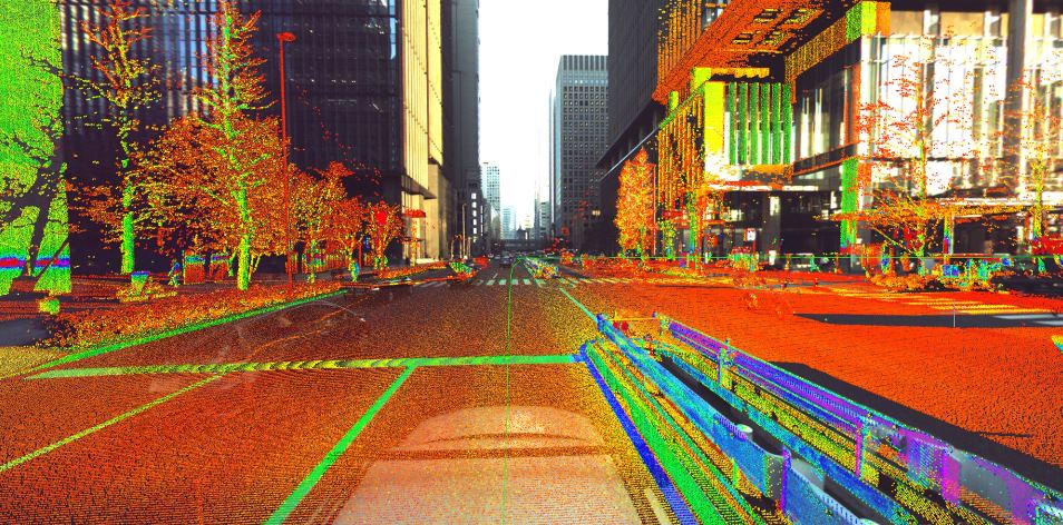
The new Pegasus:Two Ultimate removes the need for complicated six camera stitching by incorporating two back-to-back cameras creating a 24 Mpix 360-degree image calibrated to the LiDAR profiler – enabling digital reality captures forward and backward from automobile, train or boat. A high dynamic range is made possible by a large sensor to pixel ratio, allowing capture in a varity of lighting conditions and vehicle speeds.
 Time savings are further increased with an industrial, yet removable, USB 3.0 hard drive, enabling the user to save the data directly on the removal drive and connect seamlessly to any PC or server with a USB 3.0 interface. Photogrammetry is improved with the increased side camera resolution from four to 12 mega pixels and on-board JPEG compression. With the new mobile mapping platform also comes new mobile mapping software. The Leica Pegasus Webviewer is an online platform that visualises all captured data from any browser. Stored completely in the cloud, users can access and share the data at anytime from anywhere to enabling faster invoicing of services.
“We are driven by finding ways to make our customers more productive, and, therefore, more profitable. With the Pegasus:Two Ultimate, we continue with that mission,” said Stuart Woods, Leica Geosystems vice-president of Mobile Mapping. “With our new 360-degree camera and additional four sensor ports, our customers can move from servicing one segment to bringing their skills and expertise to many segments. This increases their ROI and demand across a wide range of possible applications. All the while, we remain dedicated to existing customers by offering an upgrade path and extending the service life of their initial investments.”