

Latest News
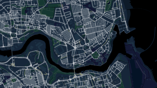
New data released by Ordnance Survey (OS) will enhance safe walking across Great Britain by highlighting its brightest and darkest roads and paths according to the position of street lights. The data was released into the OS National Geographic Database...

The interoperability of hardware and software platforms is designed to...

Trimble announced two new positioning system portfolios for mobile mapping...

Vexcel Imaging Unveils the UltraCam Dragon 4.2: A New Benchmark...
Paired with the Trimble Catalyst DA2 positioning system, this comprehensive...
Editors Desk

Vexcel Imaging announced that Dutch aerial survey company Slagboom & Peeters Aerial Surveys has purchased the very first UltraCam Dragon 4.2 hybrid aerial imaging and LiDAR system worldwide. A long-standing customer of Vexcel Imaging, Slagboom & Peeters Aerial Surveys has...

At INTERGEO Frankfurt 2025, RIEGL once again presents a broad...

Whether from space or from a drone’s perspective, whether with...

Large-scale infrastructure projects, like highways and tunnels, are in a...

The TatukGIS Developer Kernel is used in the development of...