
Vexcel Imaging announced that Dutch aerial survey company Slagboom & Peeters Aerial Surveys has purchased the very first UltraCam Dragon 4.2 hybrid aerial imaging and LiDAR system worldwide.
A long-standing customer of Vexcel Imaging, Slagboom & Peeters Aerial Surveys has built a strong reputation for precision, reliability, and professionalism in aerial photography since its founding in 1961. Operating from Teuge Airport in the Netherlands, the company executes projects worldwide, offering services from true orthophotos and stereo imagery to geo-oblique images, 3D models, and LiDAR. By continually investing in the latest technology, including multiple UltraCam systems such as the UltraCam Eagle 4.1 and UltraCam Osprey 4.1, as well as the complete UltraMap Suite, Slagboom & Peeters Aerial Surveys has secured its position as an industry leader known for quality and on-time delivery.
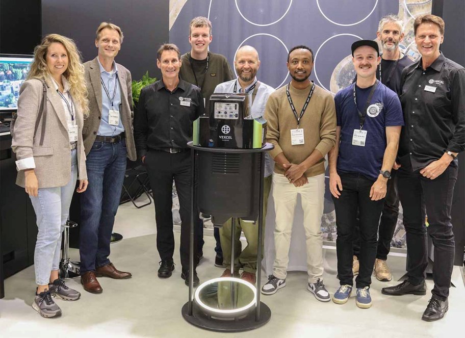
“We are honored to be the first worldwide to integrate the UltraCam Dragon 4.2 into our fleet,” said Yoeri Slagboom, CEO of Slagboom & Peeters Aerial Surveys. “Staying ahead with the best technology is central to our philosophy, and the Dragon 4.2 allows us to capture complex environments with greater efficiency and accuracy, continuing our long partnership with Vexcel.”
The UltraCam Dragon 4.2 is the most efficient hybrid aerial mapping system on the market, uniting advanced photogrammetry and LiDAR in one system. Its state-of-the-art camera architecture delivers an ultra-large image footprint, allowing operators to cover more ground in fewer flight lines and significantly reduce acquisition time. Two nadir (RGB and NIR) and four high-resolution oblique cameras each capture 19,136 x 12,736 pixels high-resolution imagery, while the integrated RIEGL VQ-680 Waveform LiDAR scanner adds dense, highly accurate 3D information operating at 2.4 MHz in a single pass.
The LiDAR scanner features a multi-axis scan geometry with five distinct viewing angles spanning a 60-degree field of view, including a true nadir scan line. This versatile configuration ensures comprehensive coverage in dense urban environments, improves vegetation penetration, and enhances the capture of vertical structures such as building facades. Proprietary Vexcel technologies, including True Pixel Processing (TPP) and Adaptive Motion Compensation (AMC), maintain image sharpness and accuracy, even under challenging conditions.
“Slagboom & Peeters Aerial Surveys has been a trusted customer for decades and we are especially proud that they are the first customer to bring the UltraCam Dragon 4.2 into operation,” said Alexander Wiechert, CEO of Vexcel Imaging. “With the Dragon 4.2, they are now equipped with the market’s most advanced hybrid solution, ready to tackle projects from 3D city modeling to vegetation analysis with unprecedented speed and precision.”
Vexcel Imaging is the first to adopt Sony’s new state-of-the-art IMX811 CMOS sensor boasting 247 megapixels and a pixel size of 2.81 micrometers across 3 new camera systems in 2025 alone – from the UltraCam Osprey 4.2 in spring to the UltraCam Merlin 5.0 and UltraCam Dragon 4.2 at Intergeo. The UltraCam Dragon 4.2 is available with two focal length options, 50 mm and 80 mm, providing flexibility to match a wide range of project requirements. Seamlessly integrated into the broader Vexcel ecosystem, the system maximizes operational efficiency and value for its users.
With the Dragon 4.2, Slagboom & Peeters Aerial Surveys continues its tradition of being at the forefront of technological progress, reinforcing its role as a trusted provider of advanced aerial mapping solutions to clients across Europe and beyond.