ASIBA
OGC and SIBA sign Memorandum of Understanding
The Open Geospatial Consortium (OGC) and the Spatial Industries Business Association (SIBA) have signed a Memorandum of Understanding (MoU) that


The Open Geospatial Consortium (OGC) and the Spatial Industries Business Association (SIBA) have signed a Memorandum of Understanding (MoU) that
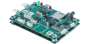
Septentrio, designer and manufacturer of GNSS solutions, announced a new partnership with Innovelec as an authorised partner for GNSS positioning
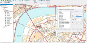
British GIS software developer, Cadcorp, has provided software support for three free-to-use data products from the national mapping agency of

Aerial survey specialist Bluesky has announced the start of the 2016 flying season. Following a cold start to meteorological Spring,
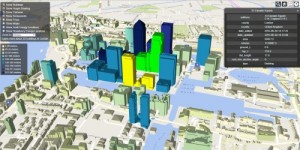
CartoConsult, provider of smart 3D building and city models, now delivers 3D city and building models, via the web to

Topcon Positioning Group and Volvo CE are working together to establish a Topcon 3D machine control (3D-MC) solution. The technology
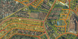
The Open Geospatial Consortium (OGC) is requesting comments on the WaterML 2: Part 4 – GroundWaterML 2 (GWML2) candidate standard.
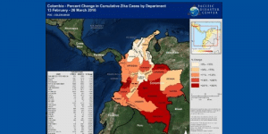
Pacific Disaster Center (PDC) is using the Esri platform to track the outbreak of the Zika virus on a global

Harris Corporation and Esri join forces to help federal agencies to modernize foundational data and use digital transformation and location-based
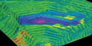
Teledyne Optech announced that it has signed a North American distribution agreement appointing GeoShack North America, Inc., a distributor of

The United States Geospatial Intelligence Foundation (USGIF) announced the five recipients of its 2016 Awards Program. This year’s recipients are

GSDI 15 announced that Professor Menno-Jan Kraak, President of the International Cartographic Association for the period of 2015-2019, will be

Ordnance Survey International (OSI) is a subsidiary of Ordnance Survey (OS), responsible for sharing the British mapping agency’s expertise and

Handheld Group, a manufacturer of rugged mobile computers, announced its first certified intrinsically safe model, a special version of the

The United States Geospatial Intelligence Foundation (USGIF) officially launched its Universal GEOINT Certification Program at its GEOINT 2016 Symposium, marking
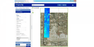
LizardTech, the creator of MrSID and provider of software solutions for managing and distributing geospatial content, announced the release of

Pageo Utama of Jakarta, one of South East Asia’s independent organisations providing hydrographic survey, positioning and subsea support facilities to
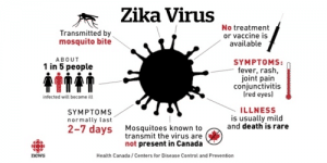
Esri is hosting a no-cost one-hour webinar Effective Vector-Borne Disease Surveillance and Control on Thursday, May 26, 2016 at 11:00

LiDAR is an established technique for companies operating and maintaining electricity networks. It can improve the safety, reliability and capacity
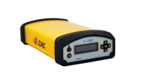
CHC announced the availability of its new N72 GNSS series, a high-end sensor designed for GNSS applications including national geodetic
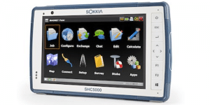
Sokkia introduces the latest addition to its line of field controllers for use with construction and surveying applications — the
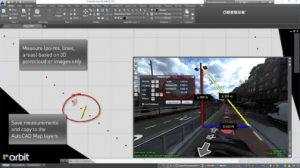
With the Orbit GT plugin for AutoCAD MAP, the use of native Mobile Mapping content becomes very easy. Any challenge

The European Transportation GIS Summit connects the European GIS Transportation Community and is an exciting forum for the exchange of
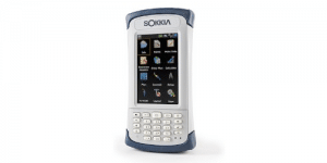
Sokkia introduces an addition to its line of field controllers for construction and surveying applications — the SHC500. It is