
Pix4D, a global leader in photogrammetry and geospatial software solutions, and SPH Engineering’s UgCS, a trusted provider of advanced drone mission planning software, have announced a new strategic partnership.
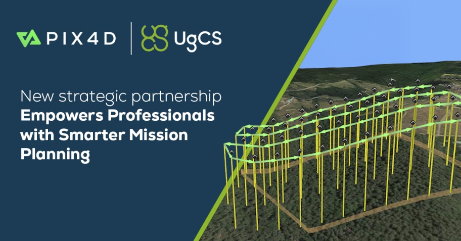
This collaboration aims to combine precise mission planning with high-end photogrammetry processing. The agreement reinforces both companies’ commitment to delivering robust, integrated tools for drone professionals. UgCS’s drone flight mission planning software supports a wide range of drones and flight configurations, ensuring reliable data acquisition across industries.
UgCS is widely recognized for its advanced capabilities, including support for NDAA-compliant drones, photogrammetry, and LiDAR toolsets, making UgSC’s mission planner a trusted choice for sensitive infrastructure projects. This level of compliance further strengthens its suitability for enterprise and institutional users operating in regulated environments.
“Partnering with UgCS enables us to offer our users a feature-rich solution for complex flight planning, perfectly complementing our suite of processing tools,” said Andrey Kleymenov, CEO at Pix4D. “This collaboration reflects our ongoing mission to support professional users with the best technologies across the entire data acquisition and analysis chain.”
“We recognize the needs of Pix4D users seeking a reliable alternative to their current mission planner. UgCS is ready to deliver a proven, flexible solution backed by decades of expertise in complex drone missions, and we are pleased to extend special offers and onboarding assistance to help them migrate smoothly,” said Kristaps Brass, Product Owner of UgCS.