
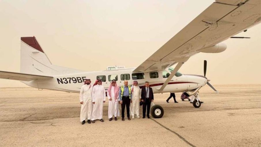
To support its digital twin initiatives in Saudi Arabia, GeoTech has acquired Vexcel Imaging’s UltraCam Osprey 4.1 aerial camera system.
The projects include high-precision models of Jeddah, Makkah, Al Ula, NEOM and other cities, covering both urban and surrounding areas. The purchase was facilitated through regional sales partner Atay Mühendislik.
With demand for precise geospatial data on the rise, especially in urban mapping and smart city development, new technologies are playing a central role in meeting the growing need. The UltraCam Osprey 4.1 combines nadir and oblique image capture in a single flight, making it well suited for detailed 3D city modelling. Its high image quality, accuracy and efficiency enable the production of rich datasets for applications in urban mapping, infrastructure planning and environmental analysis. Together with the UltraMap workflow, the system offers a complete end-to-end solution, from capture to processing, ensuring the delivery of reliable, high-quality insights.
Accuracy and efficiency are critical
GeoTech is a geospatial solutions provider with a strong presence across Saudi Arabia, Turkey, the Middle East and Central Asia. In partnership with MipMap Holdings, the company is extending its capacity to support projects across the Middle East and beyond, where accuracy and efficiency are critical to large-scale digital initiatives. The addition of the UltraCam Osprey 4.1 further improves GeoTech Overseas Saudi Arabia’s ability to deliver high-resolution datasets for 3D modelling of terrain, buildings and public spaces. It also supports the company’s mission to provide the most precise and comprehensive urban mapping solutions in the industry.
“By investing in the UltraCam Osprey 4.1, we’re enhancing our ability to deliver sophisticated solutions to our clients,” said Prof Kamil Eren from GeoTech Overseas. “This advanced imaging system will allow us to undertake complex projects with greater accuracy and efficiency, particularly in our mission to create a digital twin for cities across Saudi Arabia and the region. With Vexcel’s support, we are confident that this project will set new standards in geospatial data quality and utility in the region.”
Alexander Wiechert, CEO of Vexcel Imaging, commented on the partnership: “We are thrilled to see the UltraCam Osprey 4.1 being used by GeoTech for such an important project. The Jeddah and Makkah digital twin initiatives demonstrate the value and potential of our technology in supporting smart city development and sustainable urban planning. We are proud to support GeoTech with a system that not only meets their high standards for quality but also enhances their operational efficiency.”
The acquisition of the UltraCam Osprey 4.1 underscores GeoTech’s commitment to serving as a leader in the geospatial technology field, providing innovative solutions that meet the evolving needs of cities and communities in the Middle East. The UltraCam Osprey 4.1 is the predecessor of the Osprey 4.2.