Ordnance Survey
New national street lights data from Ordnance Survey
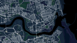
New data released by Ordnance Survey (OS) will enhance safe walking across Great Britain by highlighting its brightest and darkest

New data released by Ordnance Survey (OS) will enhance safe walking across Great Britain by highlighting its brightest and darkest

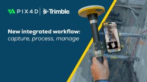
The interoperability of hardware and software platforms is designed to allow professionals to seamlessly combine technologies from both companies to

Trimble announced two new positioning system portfolios for mobile mapping and direct georeferencing — Applanix POS LVX+ and Applanix POS

Vexcel Imaging Unveils the UltraCam Dragon 4.2: A New Benchmark in Hybrid Oblique Imaging and LiDAR Building on the success
Paired with the Trimble Catalyst DA2 positioning system, this comprehensive solution combines photogrammetry, LiDAR technology, and RTK positioning to deliver

Emlid, an EU-based provider of geopositioning solutions, introduced three new all-band RTK GNSS receivers: Reach RX2, Reach RS4, and Reach

Leica Geosystems, part of Hexagon, announced the launch of the all-new Leica TS20 robotic total station. Designed and engineered from

Topcon Positioning Systems announced the creation of a dedicated business structure focused on delivering high-precision technology, software, and services for

Ecopia AI has entered into a partnership with Maxar Intelligence to deliver high-precision mapping data on a truly global scale,

The Association for Geographic Information has announced a first-of-its-kind event in the UK geo calendar. It can also reveal that

To support its digital twin initiatives in Saudi Arabia, GeoTech has acquired Vexcel Imaging’s UltraCam Osprey 4.1 aerial camera system.

Phase One has announced the iXM-RS250, its next-generation aerial mapping camera designed to push the boundaries of performance, integration and

Detekt has built a leading AI-powered platform that ingests mobile mapping data to automatically detect, classify, and extract road surface

RIEGL presents a groundbreaking LiDAR case study in Hallstatt, Austria, a UNESCO World Heritage Site. Launched in 2025, the project
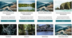
Stream, a UK water open data initiative, has won an Esri ‘Special Achievement in GIS Award’ for its pioneering work
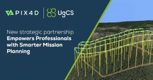
Pix4D, a global leader in photogrammetry and geospatial software solutions, and SPH Engineering’s UgCS, a trusted provider of advanced drone

R.E.Y. Engineers, Inc. has expanded its mobile mapping capabilities with the acquisition of the RIEGL VMY-2 Mobile Mapping System, marking

Hexagon AB has announced an agreement to acquire APEI, a French company specialising in aerial mapping, to augment its geospatial

Caliper Corporation announced the launch of Maptitude 2025, the latest version of its flagship Maptitude mapping software for business. This

Septentrio, part of Hexagon, pushes the limits of GNSS¹ positioning technology by unveiling mosaic-G5 modules, its smallest GNSS receivers yet,
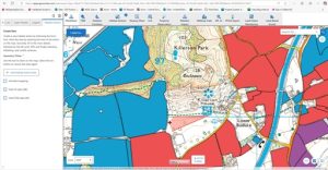
The UK is one of the most nature depleted countries in the world. As one of the country’s largest landowners,

Cadcorp has made substantial updates to its GIS software SIS 9.1. It brings a host of optimisations, enhancements and features

Following a successful tender, KOREC will be supplying Ordnance Survey (OS) with one hundred and eighty Trimble R980 GNSS Receivers.

UP42 has partnered with Maxar to make Maxar’s very high-resolution satellite imagery and tasking products available in the UP42 platform,